Englische Flagge
German
version


Project-Cooperation


Projects: [A1] [A2] [A5] [A6]


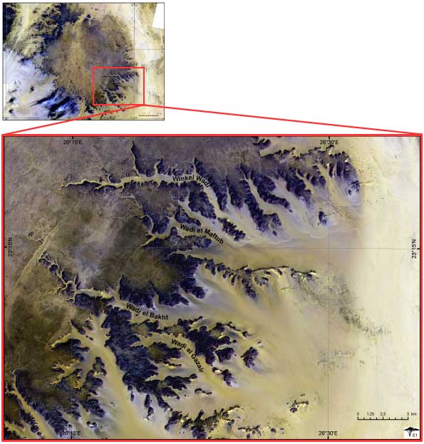
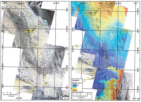
Project A1
Landuse potential of archaeological regions of interest


Region: Gilf Kebir


Gilf Kebir


The Gilf Kebir is a sandstone plateau in the southwestern corner of Egypt.

The aim of archaeological field work in this area is to investigate prehistoric landuse systems of hunter-gatherer and herding societies in different phases of occupation. Prehistoric occupations are proved in the early and middle holocene between 8.000 and 3.000 BC.

The satellite images are used to map different types of archaeological sites in order to examine their relations in space and time.


Text: Jörg Linstädter


Region: Egyptian Limestone Plateau


Development and Dynamic of the Abu Muharik Dune Belt

For the first time orthoreferenced ASTER-Satellite images and extracted Digital Terrain Models make a detailed area-wide detection of the surface morphology possible. With this information and with the field data (see marked waypoints), the genesis and development of the remarkable narrow dune belt, which has an extension of more than 700 km, will be reconstructed.


Text: Olaf Bubenzer


nach oben

Project A2
Landuse potential of archaeological regions of interest

- n/a -


nach oben

Project A5
Models of landscape change

- n/a -


top


Project A6
Landuse potential of archaeological regions of interest

- n/a -


nach oben

[Main] [Informations & Downloads] [Project-Cooperation]
German
version