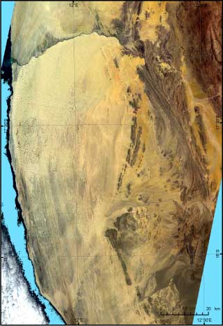
Englische Flagge
German
version


Project-Cooperation


Projects: [B4] [B5] [B7]


Project B4
Landuse potential of archaeological regions of interest

- n/a -


nach oben


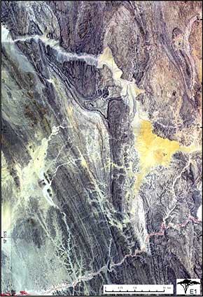
Project B5
Comparison of geomorphological parameters
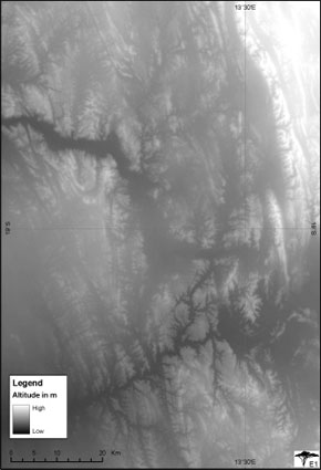

Region: Kaokoland


Map overview


Sat-Pic Kaokoland

The satellite picture shows the northwestern part of the Kaokoland in Namibia with the Kunene River as border to Angola.

The picture can be used for representation of dune formations and -movements and as a base for geomorphological survey maps.


Text: Kerstin Hartmann  


Region: Giribesvlakte - Northwest Namibia


Map overview


Sat-Pic Giribesvlakte  

DEM - Giribesvlakte

Satelliteimage


Digital Elevation Model


This high-resolution Map shows the geological structures and the relief forms of the region. Also the distribution and the patterns of aeolian sand cover can be seen. This allows statements about the recent geomorphological processes and simplifies the detection of sampling points.

The elevation model provides statements of areas which are inaccessible. This spares us expensive surveying flights.


Text: Oliver Boedeker


nach oben

Project B7
Comparative landscape units

- n/a -


nach oben

[Main] [Informations & Downloads] [Project-Cooperation]
German
version